DRONE SERVICES
ENHANCHED EYE-CATCHING IMAGES
Drone Photography
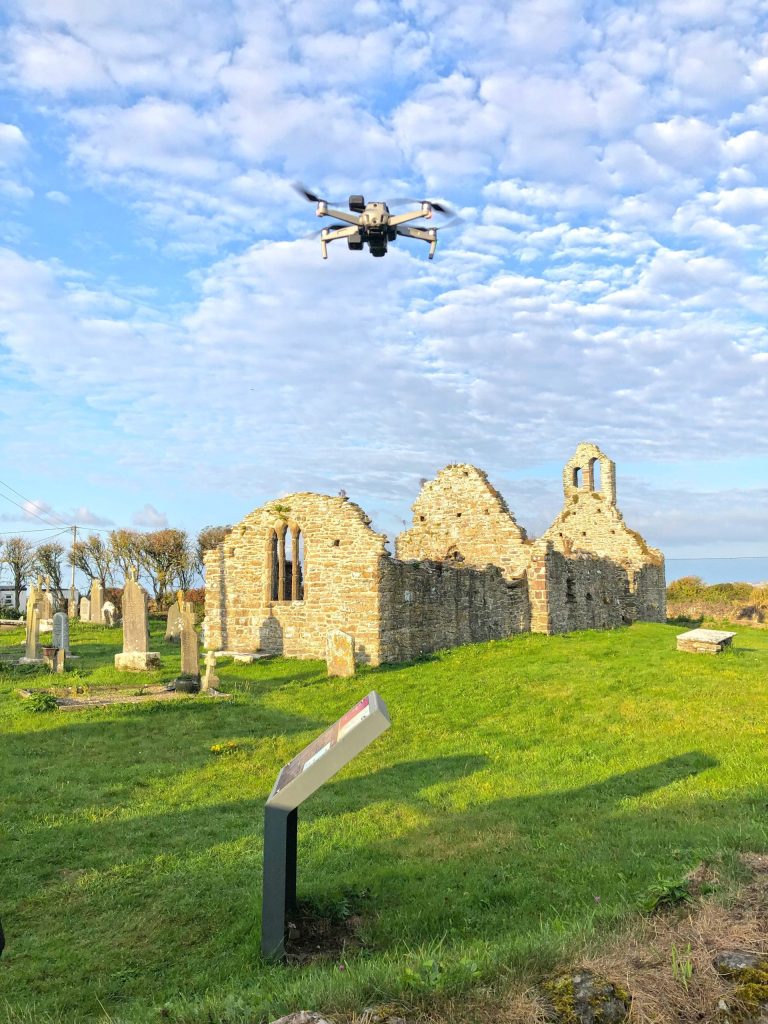
Our aerial photography service is for individual and business clients alike. Whether it’s something to go on the wall, into a brochure, onto a screen, or even a planning application, we will compose you an image from a unique perspective. Our drone cameras can produce some stunning results but with our optional photo editing service, we can really make your images pop.
Drone Filming
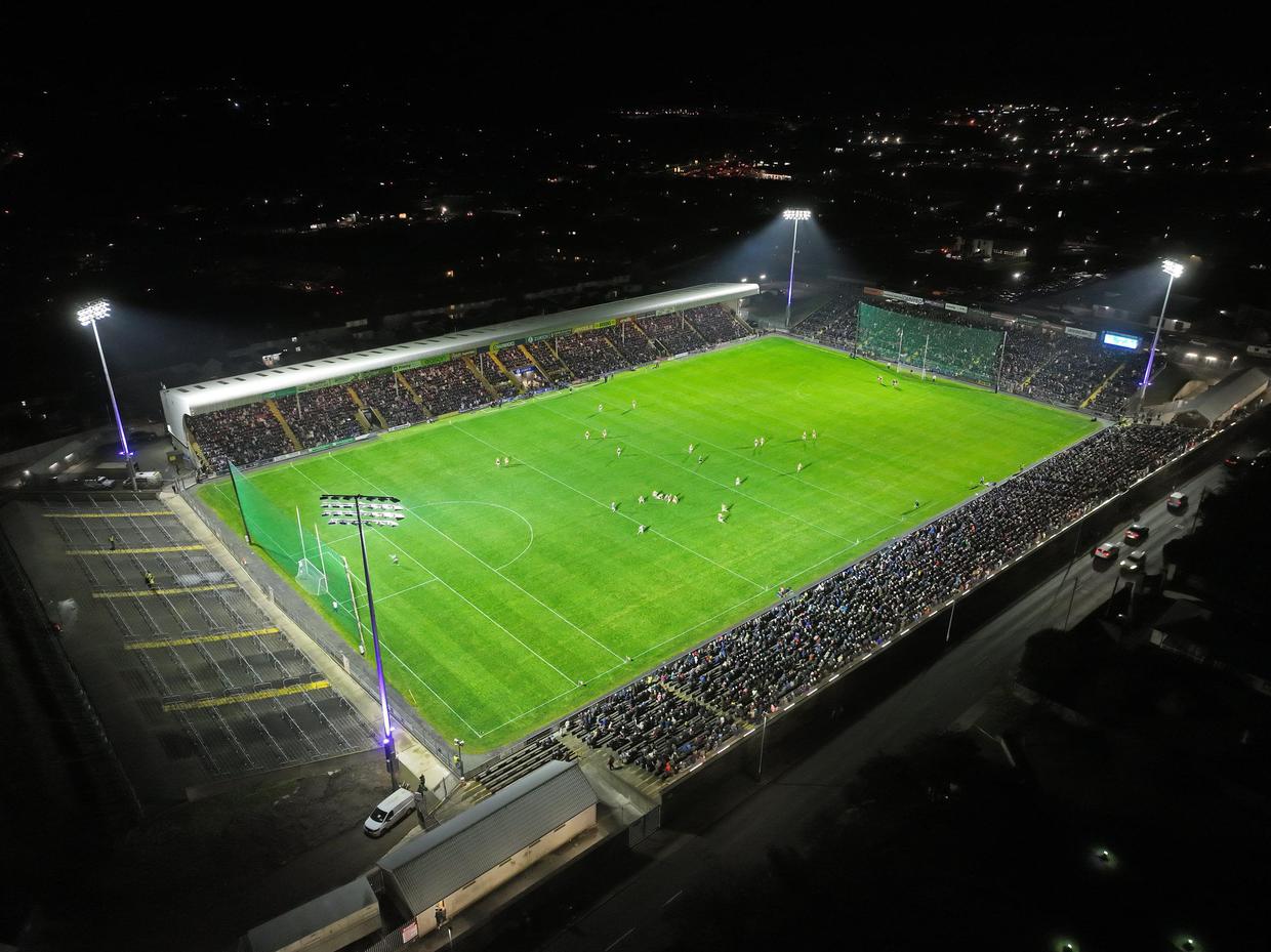
SkyPix Aerial Works Ltd. offers professional drone filming using state-of-the-art drones to deliver engaging, high quality footage. Our drones are capable of Ultra High quality 5.2k resolution aerial footage using gimbal mounted cameras.
Drone Surveys & Inspections
Drones are the quickest, safest and most cost effective way to survey at height. For roof inspections, bridges or inaccessible structures, drones are the sensible choice for construction, engineering and asset management. All our drones are capable of providing detailed data and images.
Drone Mapping
We offer topographical surveying where an accurate 3D representation of an area or structure is required.
Other services we offer through our engineering partners :
Periodic Inspections during Construction Topographical Surveys
Utility Mapping & Underground Services
3D Laser Scanning & Points Cloud Data
Preparation of 3D Contoured Land Maps
Boundary Mapping
Volumetric Analysis & Cut & Fill Estimations
Quarry and Landfill Applications
Drone FPV Filming
First Person View (FPV) is a technique that gives drone operators the live feed of what their drones see so they can get really close up shots that ordinary filming equipment just cannot provide. Take advantage of our services and discover what we can create for your business.
